Every stem in the stand, without walking the plots.
Tree Crown Mapping outlines each tree crown from a sub-10cm drone or aircraft pass and gives you a count for the whole stand, where a cruise gives you plots and an expansion.
- GSD
- <10 cm (UAV)
- Cadence
- Annual
- Platform
- Drone / crewed aircraft
- Spectral
- RGB + NIR
Cruise plots
9 plots 35 trees tallied
With Tree Crown Mapping
106 crowns
Where the plots run out
The stand gets a grid of plots. A cruiser walks to each centre through brush and slash, tallies what falls inside, and the office expands the numbers to an acre and then to the stand.
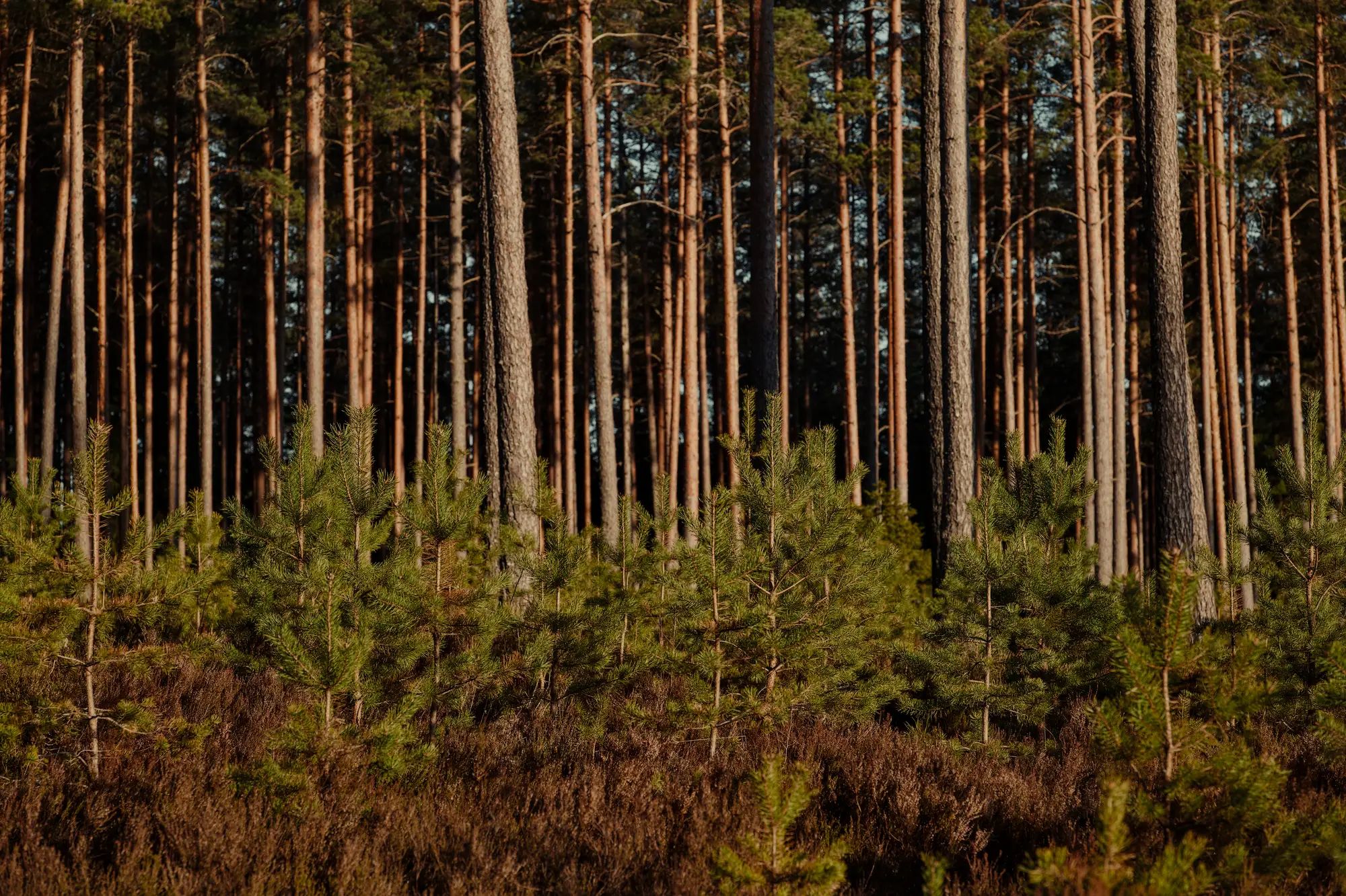
That works until the stand is uneven. A wet corner, a patch of regeneration or a thin strip along the road can sit between plots and never get counted, and the cut estimate carries whatever the plots happened to hit.
The cruise, step by step
Laying out the plots
Cruise plotsA grid or line layout across the stand, with each plot centre located on the ground.
With Tree Crown MappingYou draw the stand boundary and the whole stand is covered. There are no plot centres to find.
Tallying trees
Cruise plotsThe cruiser counts trees in each plot by hand, on foot, stand after stand.
With Tree Crown MappingEach crown that can be told apart from above becomes an outlined polygon, counted for you.
From plot to stand
Cruise plotsPlot numbers are expanded to a per-acre figure and then to the stand, and the figure is only as good as the plots were spread.
With Tree Crown MappingThe stem count is a count. Stocking across the stand is visible on the map, including the patches between where plots would have been.
Tree size
Cruise plotsSize comes from what the cruiser measures at the plots, so it describes the plots.
With Tree Crown MappingEach polygon carries a crown diameter, so size is listed for every stem in the count.
The tally sheet
Cruise plotsA field tally, keyed into cruise software back at the office.
With Tree Crown MappingA tally sheet exported by stand, ready to sit next to the cruise data.
Trunks, species and the cut estimate
Cruise plotsThe cruiser measures trunks, calls species and defects, and the forester turns it into a cut estimate.
With Tree Crown MappingNothing here changes. We outline crowns from above and do not measure trunk diameter.
Still yoursSpecies calls, trunk measurements, defect, the cut estimate and the sign-off on the cruise report.
What comes back for a stand
Crown polygons
GIS layerOne outline per tree crown across the stand. It opens in the GIS you use for the stand map, and it replaces the plot grid as your view of where the trees are.
Ledger row: Laying out the plotsCrown diameter per stem
Attribute on each polygonThe width of each crown, listed for every stem. Crown diameter is not trunk diameter and the page never treats it as one.
Ledger row: Tree sizeFull-stand stem count
Count per standThe number of crowns in the stand. Merged crowns are flagged, not split at random, so you can see where the count is firm and where it is a floor.
Ledger row: From plot to standTally sheet
Export by standA tally sheet by stand for the cruise file, in place of the plot tallies as the count you build the estimate on.
Ledger row: The tally sheet
How it works
Step 1: Before the flight
You send the stand boundary. We agree the flight window with you, since the pass needs daylight and leaf-on conditions that suit the stand.
Step 2: The pass
A drone or crewed aircraft flies the stand at under 10 cm a pixel, in RGB and near-infrared.
Step 3: Crown segmentation
Crowns are outlined one at a time. Where crowns touch and cannot be separated from above, they are flagged as merged.
Step 4: Delivery
You get the crown polygons, the crown diameters, the stem count and the tally sheet. Set it against your cruise before the sale or harvest plan is written up.
Limits
Crowns, not trunks
We see the tops of trees. Trunk diameter, species, defect and volume are not measured, and the cut estimate is still built from your own numbers.
Closed canopy
Where crowns touch, some merge into one outline. They are flagged and counted as uncertain. The denser the stand, the more of this you should expect.
What sits under the canopy
Trees below the top layer are hidden from above and are missed by an aerial count. A cruise on foot still sees them.
Weather and light
The pass is optical. It needs daylight and workable cloud cover, so flight dates can slip.
Annual, not continuous
Each stand is tallied once a year. This is not a watch on a stand between passes.
Resolution
Seedlings and very small crowns are too small for a pass at under 10 cm a pixel, and are not counted with confidence.
Who it's for
Switch if
- You are a forester or consulting cruiser who builds cut estimates from plots and wants the whole stand counted
- You manage stands where uneven stocking makes plot sampling a gamble
- You need a stem count you can show a client or a buyer
Stay with the cruise if
- You need trunk diameter, species or volume from the same visit
- The stand is dense enough that crowns merge across most of it
- You need a check on seedlings or understory trees
Questions before your first stand
Does this replace the cruise?
It replaces the sampled count as the basis for the stem count. Trunk measurement, species and the cut estimate stay with you.
Does it measure DBH?
No. It outlines crowns from above and gives crown diameter. Trunk diameter is not measured.
What happens in a closed-canopy stand?
Crowns that merge are flagged as uncertain and left as one outline. They are not split by guess.
How do we check it against our own cruise?
Pick a stand you have already cruised and send us the boundary. Compare our count and stocking picture with your plots.
Does it use LiDAR?
No. It is optical imagery, RGB and near-infrared.
What does weather do to the flight?
The pass needs daylight and workable cloud cover. A bad week can move the flight.
How often can I re-tally a stand?
Once a year. It is built for an annual count.
Will it open in our GIS?
Crown polygons come as a GIS layer and the tally sheet as an export. We do not write into your cruise software.
Who owns the imagery and the results?
Ownership and licence terms are agreed in writing when you start. If your legal team needs them earlier, ask.
How is it bought and priced?
Pricing is scoped per project. Tell us the stand and roughly how many acres, and a person will come back to you.
Tally a stand you have already cruised.
Send us the boundary and we will tell you what a full count would cover.