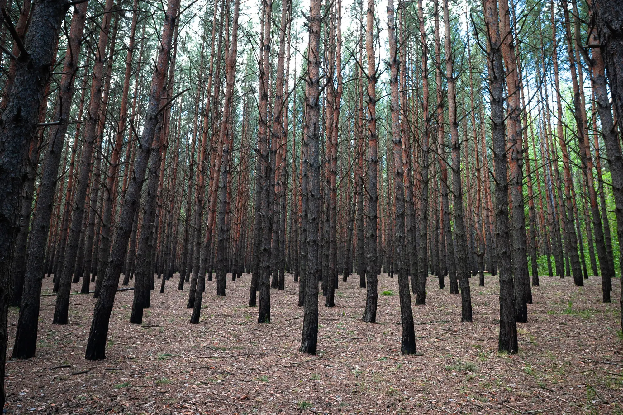
A cruiser walking a plot counts stems. A crown map built from an aerial pass counts crowns. Those two numbers agree most of the time, and then you hit a patch of stump sprouts or a bottomland clump and they don't, and that gap matters more than it looks like at first glance.
Here's the mechanics of it. On the ground, you tally every stem over merchantable diameter inside your plot radius, full stop. From overhead, a segmentation pass draws a boundary around each distinct crown it can resolve. Most trees, one stem, one crown, no issue. But plenty of species throw up two, three, sometimes five stems from a single root system after a cut, a fire, or flood damage, and from the air those stems can read as one crown, three crowns, or something in between depending on how far the canopy has closed back over the gap.
Why clumps happen in the first place
Red maple, sweetgum, river birch, most of the oaks to some degree, cottonwood on wet ground. Anything that stump-sprouts readily is going to throw a clump where the parent tree came down, whether that was harvest, windthrow, or just old age. Cutover stands coming back after a partial cut are full of this. So are bottomland and riparian strips where flood stress knocks a tree down and three or four sprouts come up around the stump in the next few growing seasons.
By the time that clump is ten or fifteen years old, the stems have spread apart enough that an airborne pass can usually find the seam between crowns, a notch or a gap where sunlight gets through. Younger clumps, or clumps on a tight stump where the sprouts never really separated, close ranks into one continuous blob of canopy. That's the case that trips up a count.
What a merged crown costs your estimate
If three stems are reading as one crown, your full-count map is going to show fewer crowns than there are trees standing in that stand. On its own that's not fatal; a crown inventory was never meant to replace stem-level ground truth on species and form. But it does mean the crown count understates stocking in exactly the stands where multi-stem clumping is heaviest, which tends to be the same stands where a consulting cruiser already budgets extra plot time because the regen is thick and hard to walk.
A full-stand crown map earns its keep by showing where the clumps sit, even though the aerial pass won't resolve every stem inside one. At a glance it tells you which blocks are dominated by single-crown stems you can size and count with confidence, and which blocks are carrying multi-stem clumps that need a cruiser's eye on the ground before you lock in a per-acre stocking number for that compartment. That's a planning tool for allocating cruiser time, built on where the clumps sit rather than a model guessing their shape. It turns "we need to walk the whole stand to find out" into "we need to walk these four acres, not four hundred."
Reading a clump on the crown map
When you're reviewing output for a stand with known sprout history, look for crowns that are noticeably larger and more irregular in outline than the single-stem crowns around them. A clean, round crown of a given diameter class is probably one stem. A lobed, oversized crown with a visible seam or a pinch in the outline is worth a field check, because that pinch is usually where two or three stems are crowding the same canopy space. Tree Crown Mapping gives you that per-crown outline and size across the whole stand instead of a handful of plots, so you can spot those irregular crowns and decide where a cruiser's boots are worth spending.
None of this replaces a diameter tape on a clump you're not sure about. It just tells you, stand-wide, where to put that tape.
If you're estimating a cut on ground with known sprout clumps, a full-count crown map is a faster way to find out where the ground check actually needs to happen.