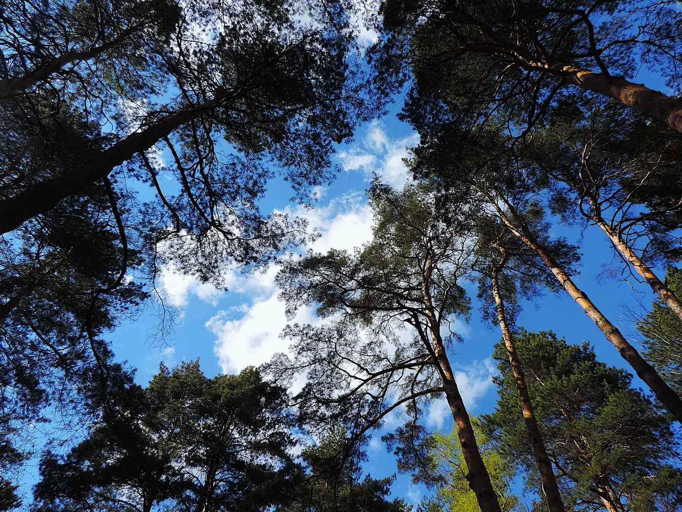
Walk into a dog-haired second-growth stand and you'll see it before you measure it: crowns touching, interlocking, one tree's branches shoved up under its neighbor's. That's crown overlap, and it's normal in anything past pole-timber stage. It's also the main reason a canopy-based stem count can come up short, and the shortfall almost always lands on suppressed stems.
What crown overlap does to a segmentation pass
A full-stand crown count, whether it's run off a canopy height model or straight off an orthomosaic, works by finding local high points in the canopy and drawing a boundary around each one. In an open stand with daylight between crowns, that works about the way you'd expect: one high point, one boundary, one tree.
Overlap breaks the clean version of that. When two codominant crowns interlock, the segmentation can find only one local maximum for both of them and draw a single polygon over two stems. Or it finds the maximum fine but draws the boundary wrong, splitting the overlap zone down the middle and handing half of tree A's branch mass to tree B's polygon. Either way you've got a crown-area number that doesn't match any actual tree in the stand.
That's the overlap problem by itself, and it's worth separating from the suppressed-stem problem, because they stack.
Why suppressed stems vanish entirely
A suppressed or intermediate tree sitting under a closed overstory often has no crown exposed to the sky at all. It's getting enough light to hang on, maybe enough to come up into the codominant class in ten years, but from straight overhead there's no local maximum to find. Nothing pokes through the canopy surface, so nothing gets segmented. The tree doesn't show up as a merged polygon with its neighbor. It doesn't show up at all.
This is the part that catches people off guard when they first run a drone pass over a stand they know on the ground. The overstory count looks plausible, crown sizes look roughly right, and the total still comes in low against what a walk-through tells you is standing there. Those missing stems are trees the sensor cannot see from above. A nadir-looking pass only resolves crown material visible from straight overhead, and a suppressed crown class has none exposed to the sky by definition.
Higher crown closure makes both problems worse at once. Dense stocking means more overlap between the trees you can see, and it means more of the lower crown classes are shaded out entirely. A 60% stocked stand and a fully stocked one don't fail the same way.
What that means for a cut estimate
None of this is a reason to throw out crown-based counts. It's a reason to know what they're counting. A full-stand segmentation gives you the overstory, the codominant and dominant crown classes, at stem level and with real crown-size data instead of a per-acre extrapolation from a handful of cruise plots. That's a genuinely better basis for volume on the merchantable trees than sampling a few tenth-acre circles and scaling up.
It is not, by itself, a full stocking count including everything down to the suppressed class. If your cut estimate depends on knowing what's waiting in the understory for the next entry, that still needs ground verification in representative spots, the same way it always has. The difference is that you're now spot-checking a known overstory map instead of trying to extrapolate the whole stand's structure from plot data alone.
That's the trade a full-count crown map is actually offering: real per-tree numbers for the trees it can see, flown once a year instead of sampled by hand. You can see how a full-stand crown inventory is built from a single pass and decide whether it covers what your next cut estimate needs.